
GPS : 44.759421, -65.657036
Delap’s Cove is a single fall that is part of a trail system. The waterfall marks approx the halfway marker. It is approx 30 ft high and falls approx at an angle of 90 degrees. This waterfall falls into the ocean. If you attend during low tide, looking outwards towards the ocean from the falls is amazing, especially if you’re there for sunset.
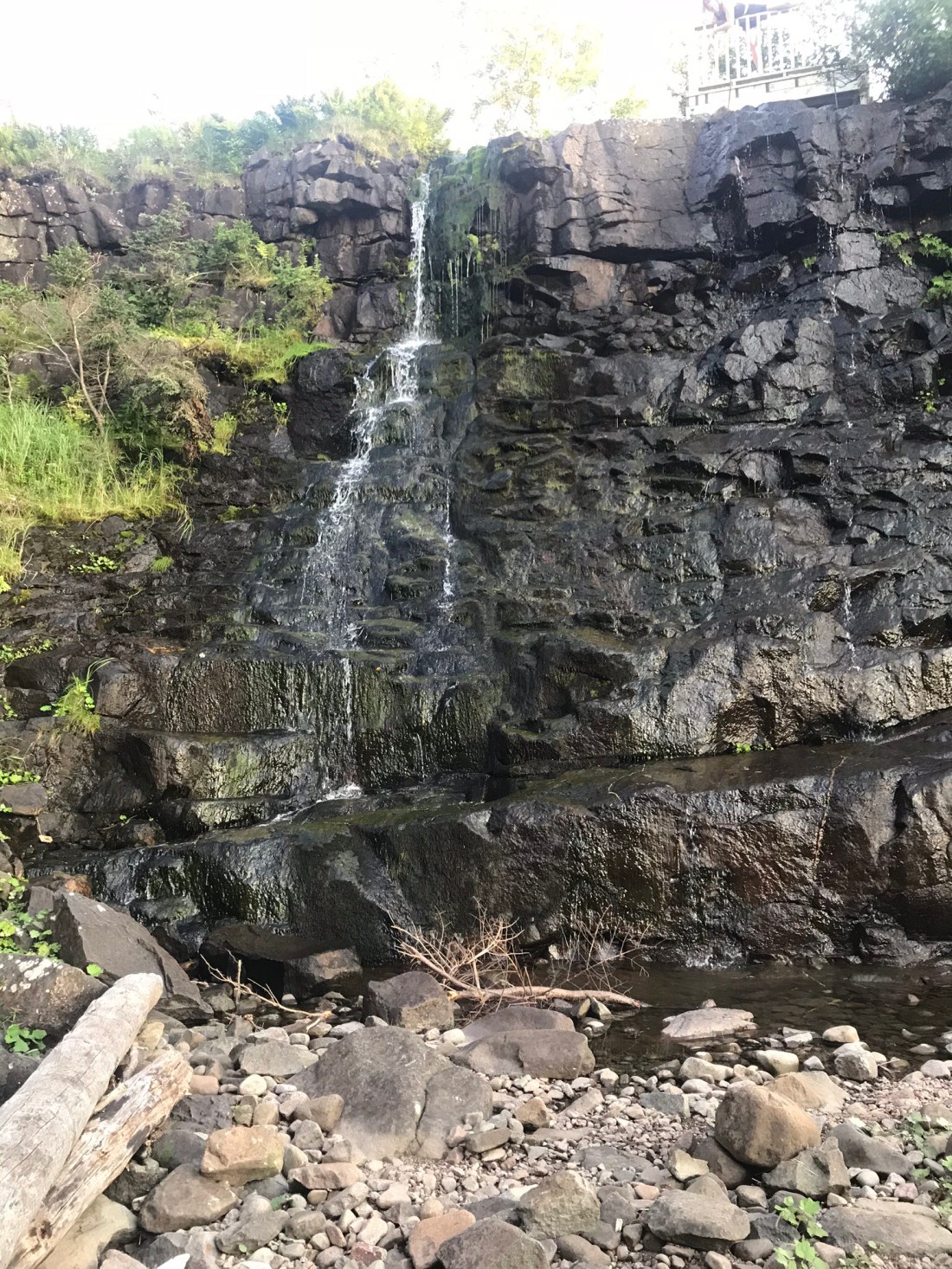
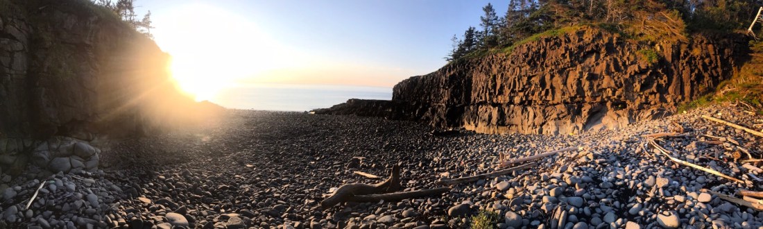
Important Information – This waterfall does not allow you to swim or jump and it is best to visit when the tide is out. In saying this, when the tide is out, you can walk right up to the base of the falls. If you happen to visit when the tide is in, there is a looking platform built at the top of the falls. The best few from the trail itself is adjacent to the falls looking into the cove. The trail that the falls are located on is called the ‘bohaker trail’. It is approx 2.2kms in length and is well maintained. The trail is a closed-loop, you will start and finish in the same spot. The terrain you will be walking on consists of gravel, tree roots and some exposed rocks along the shoreline. You can walk the trail in either direction to start, right or left. The trailhead is marked with good signage, it has general gravel parking lots and outhouses present. As for the small path leading down to the ocean floor and up to the falls within the cove, the climb down and up is steep. The rock face has been eroded into almost natural steps, use at your own risk. This small path is on the opposite of the look off-platform. If you start the trail going right, this small path will be on your right-hand side walking towards the platform, heading into the cove along its upper edge. If you start the trail going left, you will walk past the looking platform, past the water itself towards the ocean. The small path will be on your left. This path is not marked but it is easily identifiable. The photos above show the waterfall at the end of the cove and the view from inside of the cove during low tide towards the ocean. The small path I referred to is located on the right-hand side of the photo exhibiting the spectacular view of the ocean during low tide. Also to note that the road to reach the trailhead parking lot is very steep in sections and its loose gravel, drive with caution.
Directions – This waterfall is located in Granville Ferry, just north of Port Royal. If you are leaving from Halifax you will head towards the valley on highway 101 (Harvest Highway). Following this highway to just before Annapolis Royal. You will be looking for exit 22. At the end of the off-ramp, you will be turning right onto trunk 8, following trunk 8 which turns into St George St into Annapolis Royal. Once into Annapolis Royal, you will turn right at the intersection of trunk 8 (St George St) and Trunk 1 (Evangeline Trail) heading towards Granville Ferry. Driving through Granville Ferry, turn left onto Parker Mountain Rd. Following until the end, turning left onto Shore Rd West. Following Shore Rd West until you reach the trailhead parking lot. It will be marked.

